 Hoddesdon
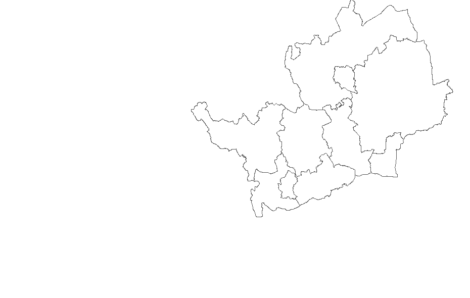
County tetrad map
If you would like to help, please take a look at the instructions here. To volunteer to help please
Hover to see grid reference and location. Click to open an Ordnance Survey map and printable survey form.
Show major towns
Show boundaries
![]() Breeding confirmed in 2008-12 atlas
Breeding confirmed in 2008-12 atlas
![]() Surveyor allocated for 2015
Surveyor allocated for 2015
Rookery survey web pages developed by Garganey Consulting